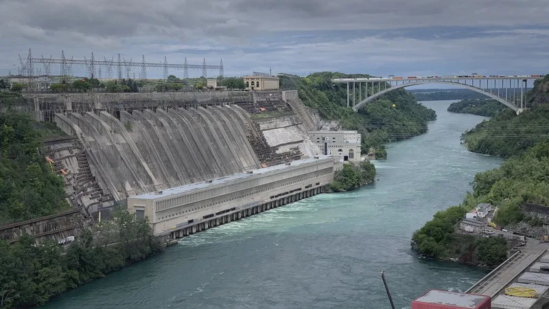
Critical Infrastructure Providers
Continuous aerial awareness and inspection for the assets a region depends on.
Explore Critical Infrastructure ProvidersSolutions
Aerial Grid brings detection, coordination, and governance into one operational picture - adapted to the clients, use cases, and deployment models that low-altitude airspace demands.
Industries we serve
Aerial Grid maps to the operational realities of each vertical — from critical infrastructure to agriculture. Explore the domains we serve and how our products help.
Continuous aerial awareness and inspection for the assets a region depends on.
Explore Critical Infrastructure Providers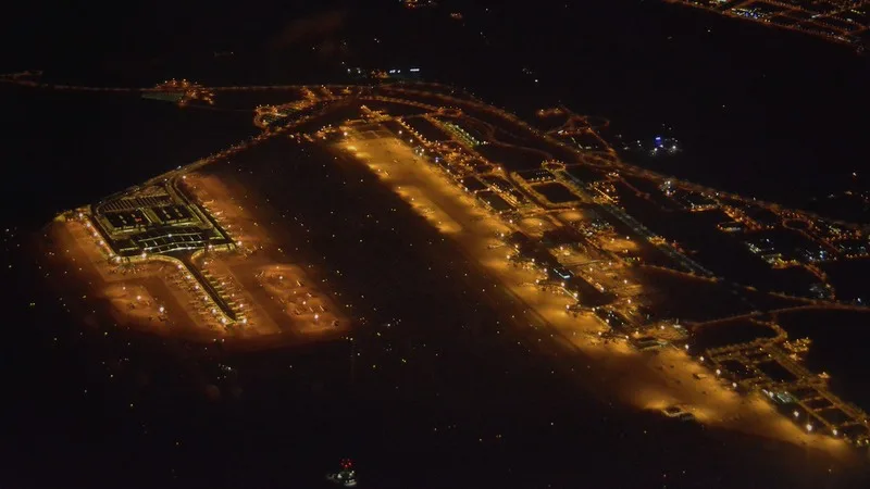
Protect controlled airspace and inspect transport assets without disrupting operations.
Explore Airports & Transport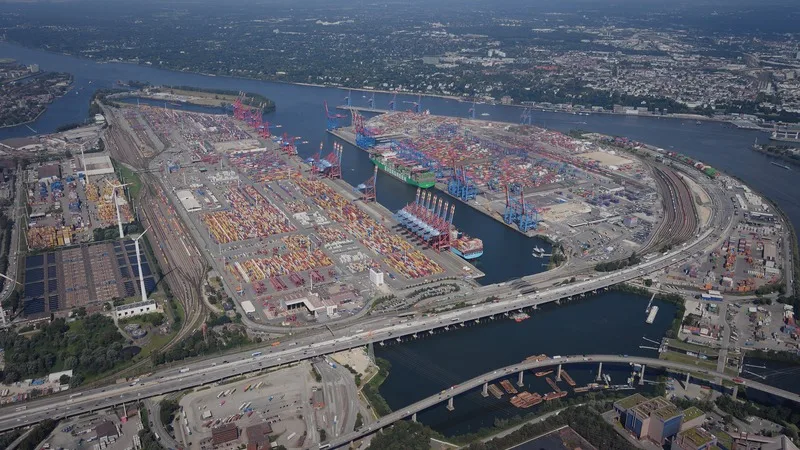
Survey yards, monitor activity, and keep complex sites secure from the air.
Explore Logistics & Ports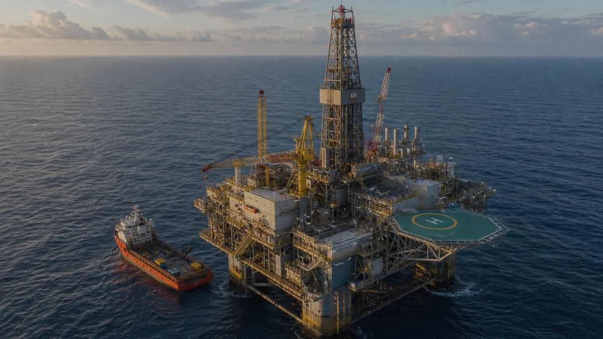
Inspect remote, hazardous assets safely and detect threats to sensitive sites.
Explore Oil & Gas
Inspect grids, solar, wind and substations at scale with auditable evidence.
Explore Utilities & Energy Facilities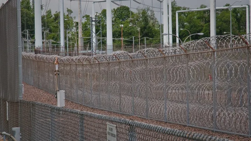
See, classify and respond to drone activity over industrial sites.
Explore Industrial Security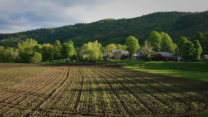
Map fields, monitor crops and turn flights into actionable agronomic data.
Explore Agriculture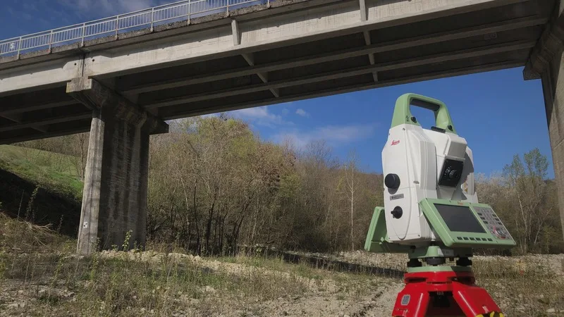
Survey-grade orthomosaics, point clouds and 3D models from your own flights.
Explore GIS, Surveying & Mapping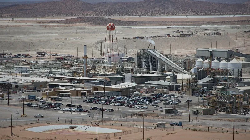
Measure volumes, monitor sites and inspect assets across the operation.
Explore Mining & MetalsTalk to us
Tell us about your operating environment and we will map Aerial Grid to your clients, use cases, and rollout plan.